
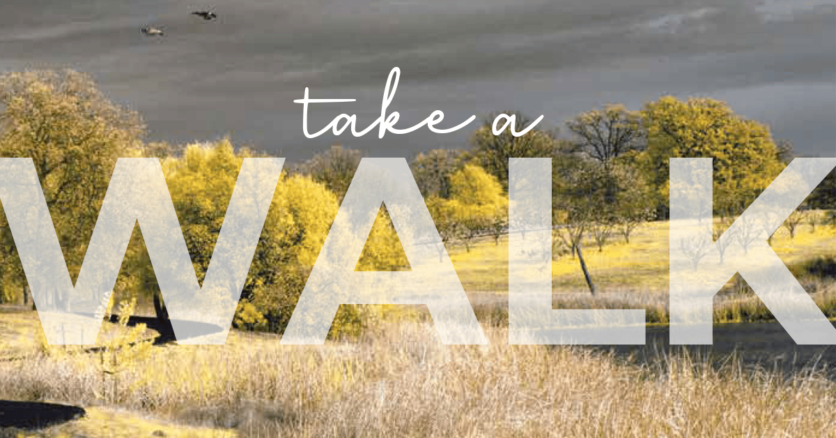
Take a Walk
Enjoy the many walking trails in the Redding area…
North, south, east or west – it doesn’t matter where you live in Redding, our fine city has dedicated spaces for us to walk and stroll about.
There are more than 80 miles of paved and dirt trails within the city, and while the biking trails in and around Redding draw raves, as well as regional and national attention, the walking trails, paths and byways are equally as impressive.
Though far too many to dive into here, the city of Redding has a complex, detailed look at the Redding area trails that offers the curious a state-of-the-art GIS map that’s both searchable and user friendly.
Look here for the map: https://www.cityofredding.org/departments/parks-and-recreation/parks/parks-trails-and-open-space, click on Trail Map.
So where do we begin? You can’t talk about Redding’s trail system without starting at the SACRAMENTO RIVER TRAIL.
HILLTOP DRIVE TRAILHEAD: Starting from the Hilltop Drive trailhead, you could walk all the way to Shasta Dam if you’ve got that much energy. However, the most widely used trail in Redding runs in and around Turtle Bay Exploration Park, across the Sundial Bridge and west toward the Diestelhorst Bridge and farther to the ribbon bridge near Keswick Dam.
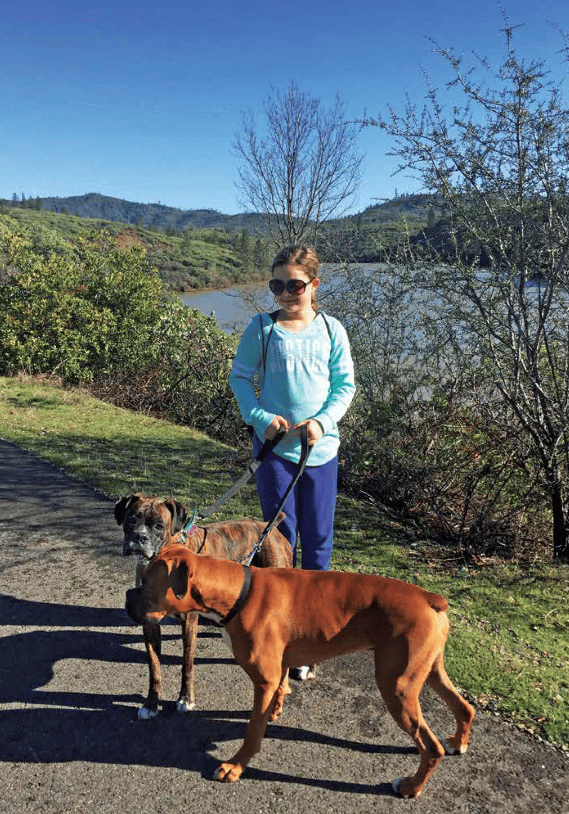
The dog-friendly paths (just make sure Fido is on a leash) are perfect for morning exercise or an evening stroll after the sometimes searing Redding heat starts to fade into night.
COURT STREET (BENTON DRIVE) TRAILHEAD: The out-and-back loop west of the Diestelhorst, the railroad trestle and Court Street is a challenging 6.1-mile loop with enough hills to get the blood pumping and enough flat spots to be able to enjoy one of Redding’s natural treasures – the Sacramento River.
As beautiful as the Sundial Bridge is, don’t overlook taking a sunset selfie on the Diestelhorst.
DOG FRIENDLY/LEASH FREE: Two places that are dog-friendly and leash-free are Turtle Bay East off Bechelli Lane and the Nor Pom area in back of the old Raley’s location on Hartnell Avenue. Nor Pom recently opened and continues to delight as wide, meandering paths wind along the Sacramento River with a salmon spawning channel and pedestrian bridge just south of the Cypress Avenue bridge.
CLEAR CREEK RECREATION AREA: In southern Redding, a maze of trails off Clear Creek Road offers walkers and hikers the feeling of being far from the city within a few minute’s drive. At certain times during the year, walkers also can see salmon returning to Clear Creek to spawn. From strolls along the creek to soaring vistas of the westside, the Clear Creek area isn’t to be missed.
CLOVER CREEK PRESERVE: In east Redding, the Clover Creek Preserve is a true gem off Shasta View Drive. A bird-watcher’s paradise, the dog-friendly 1.4-mile trail is flat and features a seasonal lake and creek flowing through it.
Farther north is the Lema Ranch trail system and the Churn Creek Greenway.
LEMA RANCH: The Lema Ranch trails are four miles of wandering paths on 200 acres. The paved trails showcase five ponds built by the Lema family in the 1950s. The Lema Ranch trails are pedestrian only as both dogs and bikes aren’t allowed.
CHURN CREEK GREENWAY: Just to the northwest of the Lema Ranch and McConnell Foundation property is the Churn Creek Greenway, an expanse that has both dirt and gravel surfaces. Leashed dogs are allowed on the Churn Creek Trails.
But wherever you decide to get out, remember to pick up after your pet, smile and wave at your neighbors on the trail, and soak in all the amazing beauty of the North State.
www.cityofredding.org/departments/parks-and-recreation/parks/parks-trails-and-open-space